9 AM to 7 PM Monday-Saturday
+91-9251896140 (Sales)
+91-9251896143 (Technical)
+91-9166273732(HR)/hr@raynas.co.in


Low cost LiDAR Orthophoto Generation in Bengaluru Digital Terrain Model,Digital Surface Model
LiDAR Orthophoto Generation is an advanced geospatial process that combines LiDAR (Light Detection and Ranging) elevation data with high-resolution aerial imagery to create geometrically corrected orthophotos. Unlike standard aerial photographs, orthophotos are free from distortions caused by terrain relief, camera tilt, and perspective variations, making them highly accurate for mapping and measurement purposes. LiDAR sensors capture millions of elevation points across the landscape, producing detailed point clouds that represent the Earth's surface and above-ground features. These datasets are then used to develop Digital Terrain Models (DTMs) or Digital Surface Models (DSMs), which serve as the foundation for orthorectifying aerial images. The resulting orthophotos provide precise geographic positioning and allow users to measure distances, areas, and object locations with confidence. This technology has become an essential component of modern GIS, surveying, engineering, environmental management, and urban planning projects worldwide.
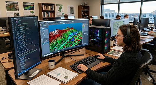
The process of LiDAR Orthophoto Generation begins with data acquisition through airborne platforms, drones, or specialized survey aircraft equipped with LiDAR sensors and high-resolution cameras. Once collected, the LiDAR point cloud undergoes extensive processing, including noise removal, classification, and elevation modeling. Ground points are separated from buildings, vegetation, and other surface features to create accurate terrain representations. Simultaneously, aerial images are processed and aligned using camera calibration and georeferencing techniques. The elevation data derived from LiDAR is then used to correct image distortions during orthorectification. This integration ensures that every pixel in the final orthophoto corresponds to its true ground location. The final stage involves mosaicking multiple orthophotos into a seamless image that covers the entire project area. This workflow delivers highly detailed mapping products suitable for various commercial, governmental, and scientific applications.
One of the greatest advantages of LiDAR Orthophoto Generation is its ability to produce highly accurate and reliable mapping products, even in areas with complex terrain or dense urban development. Traditional aerial imagery often suffers from building lean, shadow effects, and relief displacement, which can affect measurement accuracy. By incorporating LiDAR-derived elevation models, these issues can be significantly reduced or eliminated through true orthophoto generation techniques. This enhanced accuracy is particularly valuable for infrastructure planning, utility corridor mapping, transportation projects, and cadastral surveys where precise feature positioning is critical. Furthermore, LiDAR-based orthophotos offer superior data quality for 3D mapping and digital twin applications. The combination of detailed imagery and elevation information enables planners, engineers, and GIS professionals to perform more informed analyses, improving project outcomes while reducing the need for costly field surveys.
Low cost LiDAR Orthophoto Generation in Bengaluru, KA | RAYNAS GEOMATICS
Low cost LiDAR Orthophoto Generation in Bengaluru, KA.Enhanced Spatial Analysis,Accurate Mapping LiDAR Orthophotography,Digital Orthophoto Mapping,GIS Mapping Services,Spatial Data Analysis
Low cost LiDAR Orthophoto Generation in Bengaluru, KA.|Digital Terrain Model,Digital Surface Model
LiDAR Orthophoto Generation plays a crucial role in environmental monitoring and natural resource management. Forestry professionals use LiDAR-derived orthophotos to analyze forest canopy structure, monitor vegetation health, and estimate biomass. Environmental agencies rely on these datasets for watershed mapping, flood risk assessment, coastal monitoring, and habitat conservation projects. Because LiDAR can penetrate gaps in vegetation and provide accurate ground elevation information, it offers significant advantages for terrain analysis in challenging environments. Orthophotos generated from LiDAR data also support change detection studies, allowing organizations to compare land conditions over time and identify environmental trends. In agriculture, farmers and land managers utilize high-resolution orthophotos to improve crop monitoring, irrigation planning, and precision farming operations. These diverse applications demonstrate the versatility of LiDAR orthophoto products across industries focused on sustainable land and resource management.