9 AM to 7 PM Monday-Saturday
+91-9251896140 (Sales)
+91-9251896143 (Technical)
+91-9166273732(HR)/hr@raynas.co.in


Low cost LiDAR scanning company in Delhi Terrestrial LiDAR Scanning,Mobile LiDAR Scanning
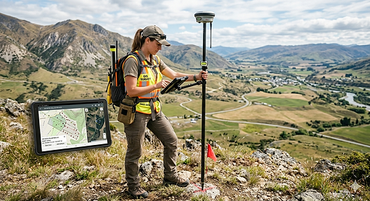
A LiDAR scanning company specializes in capturing highly accurate three-dimensional data of buildings, infrastructure, landscapes, and industrial facilities using advanced Light Detection and Ranging (LiDAR) technology. By emitting laser pulses and measuring the time they take to return after striking an object, LiDAR systems generate dense point clouds that represent real-world environments with exceptional precision. These companies serve a wide range of industries, including construction, architecture, engineering, mining, transportation, and real estate. The collected data is transformed into detailed 3D models, maps, and digital twins that help organizations visualize, analyze, and manage assets more effectively. Unlike traditional surveying methods, LiDAR scanning significantly reduces fieldwork time while improving measurement accuracy. As businesses increasingly adopt digital transformation strategies, LiDAR scanning companies play a vital role in delivering reliable spatial data that supports planning, design, renovation, and long-term asset management projects.
LiDAR scanning companies provide comprehensive surveying and mapping solutions tailored to the unique requirements of each project. Their services often include terrestrial laser scanning, mobile mapping, drone-based LiDAR surveys, topographic mapping, Scan-to-BIM modeling, and reality capture. These solutions allow project stakeholders to access detailed information about existing conditions before beginning design or construction work. Architects rely on accurate scans for renovation and restoration projects, while engineers use the data to perform structural assessments and infrastructure planning. In the construction sector, LiDAR technology helps reduce costly errors by identifying discrepancies between design plans and actual site conditions. The ability to capture millions of measurements within a short period makes LiDAR scanning one of the most efficient surveying methods available today. This efficiency enables companies to complete projects faster, enhance decision-making, and improve collaboration among project teams.
Modern LiDAR scanning companies leverage advanced technologies such as drone LiDAR systems, artificial intelligence, cloud-based data processing, and digital twin platforms to enhance project outcomes. Drone-mounted LiDAR sensors can rapidly survey large or difficult-to-access areas, including forests, mines, utility corridors, and construction sites. This capability improves safety by minimizing the need for personnel to work in hazardous environments. Once data is collected, specialized software processes the information into accurate 3D representations that can be integrated with CAD, GIS, and BIM platforms. Artificial intelligence further improves efficiency by automating object recognition, classification, and analysis within point cloud datasets. These technological advancements allow LiDAR scanning companies to deliver highly detailed insights in less time than conventional methods. As a result, organizations gain valuable information that supports smarter planning, risk reduction, and more effective resource allocation throughout project lifecycles.
Low cost LiDAR scanning company in Delhi, NCR | RAYNAS GEOMATICS
Low cost LiDAR scanning company in Delhi, NCR.3D Mapping,Building Documentation LiDAR surveying company,LiDAR scanning company,Point cloud scanning services,Digital twin creation
Low cost LiDAR scanning company in Delhi, NCR.|Terrestrial LiDAR Scanning,Mobile LiDAR Scanning
One of the key advantages of partnering with a professional LiDAR scanning company is the accuracy and reliability of the data provided. Traditional measurement techniques often require significant manual effort and may be limited in scope, especially on large or complex sites. LiDAR technology overcomes these challenges by capturing comprehensive spatial information with millimeter-level precision. This high level of accuracy is particularly valuable for projects involving industrial facilities, heritage structures, transportation networks, and large-scale infrastructure developments. Accurate data reduces uncertainties during design, construction, and maintenance phases, ultimately minimizing project delays and budget overruns. Furthermore, LiDAR-generated models enable stakeholders to visualize conditions before work begins, identify potential conflicts, and make informed decisions. By delivering dependable results, LiDAR scanning companies help clients improve operational efficiency while maintaining quality and compliance standards across diverse industries.